How to Use Near Real-Time Subsea Data as a Liability and Cost Lever in Offshore Survey Operations
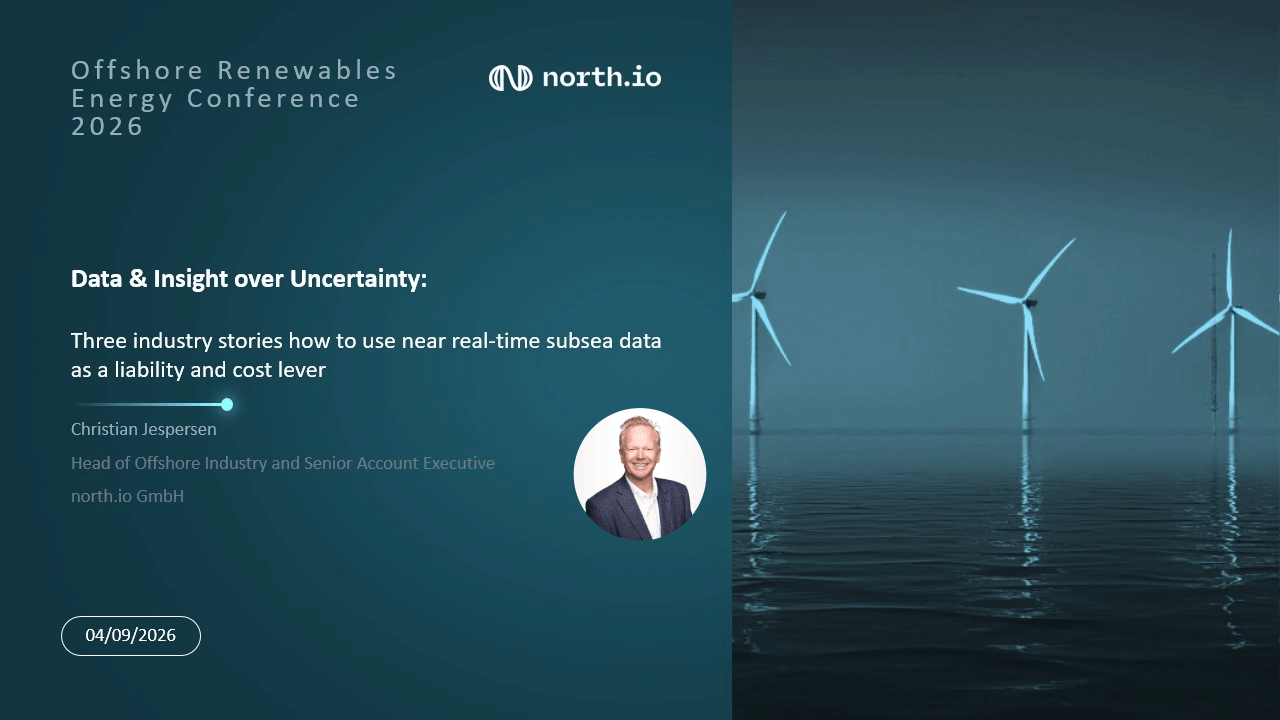
Offshore survey data that's validated too late doesn't just cost money. It can close the only window you had to fix the problem. At the Offshore Renewables Energy Conference (ORE) 2026, Christian Jespersen, Head of Offshore Industry at north.io, hosted a session, discussing how offshore organizations use near-real-time data processing and validation to identify problems and take corrective action before the opportunity disappears, with use cases from three different organizations.
The core principle behind all three: the earlier you know about a data problem, the more options you have to fix it, protecting budgets and project targets.
Why Late Data Discovery Is So Expensive Offshore
In a conventional offshore survey workflow, data processing and quality control happen hours, days, or even weeks after a vessel finishes its assignment, often after it's already been released.
That creates a critical gap between collecting data and knowing whether that data is fit for purpose.
Problems can include:
- Gaps in survey lines
- Incomplete coverage
- Inconsistent datasets
- Data quality issues
- Missing areas or objects of interest
By the time gaps are discovered, revisiting the site is rarely simple. Permits may have lapsed, and a suitable vessel, crew, or weather window may not be available again, especially during short offshore renewables operating windows like November and December.
The numbers make the risk concrete.
- ~€60,000/day: typical day rate for a fit-for-purpose North Sea geophysical survey vessel, including overheads
- 5–7 days: typical length of an unplanned infill or recovery survey once a gap is found
- €300,000+: direct additional cost if the vessel is still available, before engineering delays or contractual penalties are added
And the financial hit is often the smaller problem. The real worst case is discovering unreliable data after the operational window has closed, forcing a wait for the next opportunity, and potentially exposing crews to offshore operations that better data could have avoided entirely.
The Solution: Move Validation Closer to the Point of Acquisition
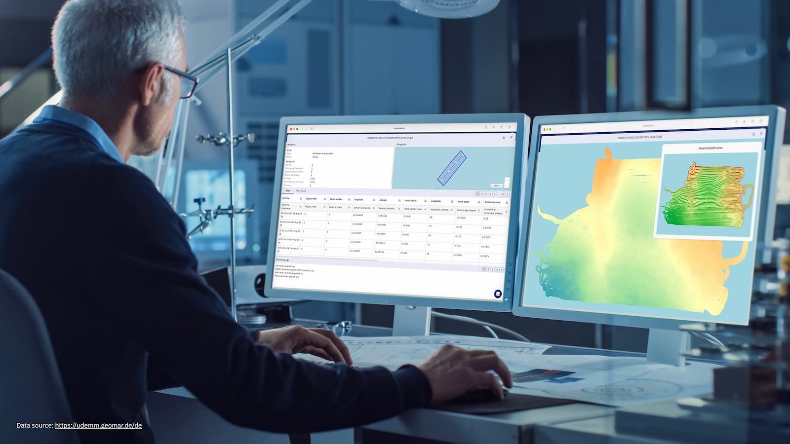
Instead of handing data over for processing after the campaign ends, subsea sensor data can be streamed to an onshore team while the survey is still underway. This turns a one-way handover into a continuous feedback loop, built on four steps:
- Ping data to the cloud: subsea sensor data streams from vessel to shore in near real time, so onshore teams start working before acquisition even finishes.
- Validate continuously: automated checks assess completeness and quality against the client's technical spec as data arrives, not after.
- Connect onshore, client, and offshore teams: one shared feedback loop replaces a long chain of handovers.
- Act while the vessel is still there: a missing survey line or object of interest can be re-acquired within minutes, not rediscovered weeks later.
The workflow shifts from: Survey → Demobilize → Transfer → Process → QC → Discover problem → Plan resurvey → Transfer → Validate → Assess → Correct → Continue.
the workflow becomes closer to: Survey → Transfer → Validate → Assess → Correct → Continue
Three Industry Use Cases
Across all three examples, the technology and operational environments are different. The common denominator is the need to reduce project uncertainty which is reflected in the contingency budget of any project.
Offshore organizations increasingly collect enormous volumes of sensor and survey data. But simply collecting more data does not automatically create better decisions and reduce uncertainties.
Use case 1: International T&I contractor - one source of truth.
For an international T&I contractor, the challenge was not simply the volume of data. It was the way data was distributed across international business divisions. Local file storage, duplicated folders, and limited global visibility made it difficult to establish a consistent view of the organization's geospatial information.
The approach was to move from local file storage toward a global data intelligence environment, replacing duplicated local, regional and headquarters folders with a metadata-indexed data catalogue. This creates more than a centralized data repository. It creates a shared operational picture.
The result is a single source of truth for geospatial data across vessels, business divisions, headquarters and clients, supported by data governance, user-role management and access controls. The approach also creates an auditable data trail that can strengthen an organization's position during change management and claim management.
Use case 2: European TSO - 40+ formats, one platform.
A transmission system operator building multi-gigawatt North Sea grid connections faced survey data arriving from numerous external contractors in more than 40 formats with GeoTech, GeoPhy, GIS, UXO, and engineering teams each working from separate copies.
The approach was to establish a single platform where survey formats could be ingested natively and made available through cloud-based processing.
Instead of relying on conventional data handovers, teams could access:
- Native ingestion of multiple survey formats
- Cloud processing
- Instant 2D and 3D previews
- GeoSearch along cable route polygons
- Automated UXO and object detection
- API-based uploads from contractors
This changes the timeline for turning survey acquisition into usable information. The path from survey vessel to assessed data shrank from weeks to days, and earlier anomaly detection avoided numerous additional days of resurvey and made planned working sites earlier accessible.
For large offshore grid infrastructure projects, this matters because data is not valuable simply because it has been collected. It becomes valuable when engineering and project teams can find it, understand it and use it to make accelerated and informed decisions.
Use case 3: SeaSEC 2026 - Defence case.
During SeaSEC 2026, north.io participated alongside the German Navy and was asked to establish an overarching data management system for the exercise.
The challenge was to manage data from multiple vessels and systems while supporting timely transfer into a common operational picture. The exercise required a platform capable of handling various asset data formats and processing complex datasets quickly enough to support early assessment and situational awareness.
The solution was a format-agnostic data platform with:
- Customizable rights and permissions
- Role-based user management
- Storage for different data types
- Documented data flows
- In-situ processing of complex data
- Transfer of processed information into a command-and-control system
The outcome was a secure data-sharing environment that combined storage and processing capabilities with fast data upload and distribution. This supported enhanced situational awareness across the exercise's operating cells.
How north.io Helps
north.io's Ocean Data Platform (ODP) and Ocean Data Processing Engine (ODPE) for marine and offshore data management, processing, analytics, and use-case development.
The objective is to help organizations move beyond simply storing survey data toward creating an environment where data can be discovered, processed, validated and used for decision-making — as close to the point of acquisition as possible.
Because when offshore survey data is validated in near real time, the most expensive data problem isn't the one you find. It's the one you find too late.
To learn more about how north.io can help your organization achieve near real-time data insights, reducing risk and cost. Get in touch below.