Flotation Energy: Bringing Structure, Scale, and Clarity to Offshore Wind Geodata
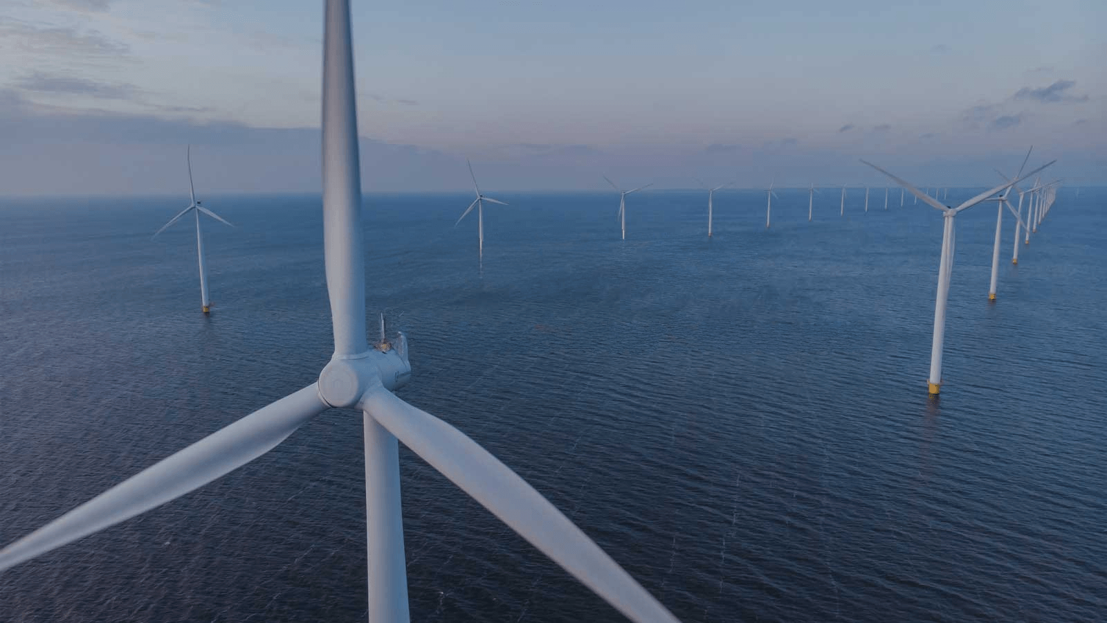
Flotation Energy is a global offshore wind developer, specialising in pioneering floating projects in deeper waters. With major projects such as Green Volt, White Cross and Cenos, Flotation Energy plays a key role in accelerating the energy transition through large-scale offshore renewables.
As their portfolio and data volumes grew, so did the complexity of managing, accessing, and using geospatial and survey data across teams and partners.
Background: Flotation Energy’s Data Ecosystem and Delivery Workflows
Flotation Energy works with a broad ecosystem of internal and external teams, as well as external survey contractors and specialist consultants. Their workflows require offshore survey and geophysical data, which is typically delivered through external hard drives, FTP servers, or shared cloud storage links.
Internally, data was initially stored on SharePoint and used primarily in ArcGIS Pro and ArcGIS Online, where it was shared through web GIS applications. As projects advanced and data volumes grew, it became evident that a new, dedicated data cloud storage platform was needed.
The Challenge: Fragmentation, Performance, and Access
Flotation Energy identified several areas where the data transfer process could be improved:
Data Management & Storage
- Development of a standardised process for data delivery from contractors
- A dedicated platform for survey data storage and data preview, rather than relying on external drives and SharePoint sites
- A consistent approach to folder structures between projects
Usability & Performance
- Need for improved load times for large datasets
- The ability to quickly preview data of various formats
- The ability to allow users to view technical data formats (e.g. SEGY) not easily used without specialised software
- Distinguishing between processed vs. unprocessed data and the storage requirements for both
Collaboration & Access
- Easily get the right data to the right people
- Allow multiple users to explore the same datasets simultaneously
- Strengthen our existing GIS systems to facilitate easier access to survey data across projects
Ultimately, the team needed a solution that could handle large, complex datasets, integrate with their existing GIS ecosystem, and support collaboration across disciplines.
The Solution: Ocean Data Platform by north.io
To help improve existing data storage and manual data workflows, Flotation Energy implemented the Ocean Data Platform by north.io, a cloud-native solution designed to centralize and operationalize offshore geodata. The platform consolidated existing survey data into a standardised, structured environment, enabling fast and reliable exploration of large datasets with seamless GIS integration. By moving to a single source of truth, Flotation Energy significantly improved operational efficiency, reduced time spent searching and duplicating data, and enhanced decision-making through reliable previews of complex formats. At the same time, the platform has begun to aid collaboration across GIS, Consents, Engineering, and external consultants, providing scalable infrastructure that grows alongside their expanding project portfolio.
“Working with north.io has been a genuinely positive experience. The Ocean Data Platform keeps improving in ways that directly support our workflows, and it's clear the team really listens. Your responsiveness and ability to handle large, complex datasets makes a real difference. We look forward to further developing this promising collaboration.” - Stephen King, GIS Lead, Flotation Energy Ltd
Managing offshore wind data doesn’t have to be complex.
If your teams are struggling with large geospatial datasets, fragmented storage, or slow GIS workflows, north.io’s Ocean Data Platform can help you regain control and unlock the full value of your data.
👉 Talk to north.io about Ocean Data Management