Maritime Geodata: Turning Offshore Survey Data into a Long-Term Asset
Offshore projects generate enormous volumes of valuable geospatial data. But the real value of this data does not end when a survey campaign is completed.
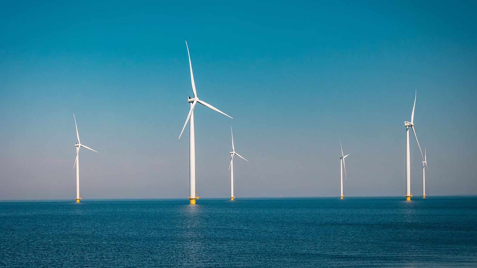
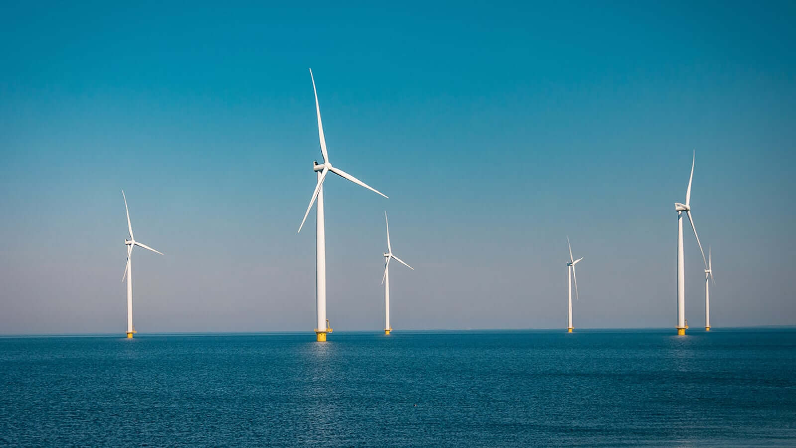
Offshore wind farms and other maritime infrastructure depend on accurate knowledge of the seabed and surrounding environment. Throughout planning, construction and operation, extensive survey data is collected to support engineering and operational decisions.
The challenge is that these datasets are often generated at different points in time, by different contractors and for different purposes. Without a consistent approach to data management, valuable information can become fragmented, difficult to access, or unnecessarily collected again.
Together with m3 management consulting, we recently took a closer look at how organizations can establish a more sustainable approach to maritime geodata. The article explores why precise planning and clear requirements matter, how existing survey data can be reused for future tasks, and why data quality and sovereignty are becoming increasingly important.
One thing is clear: maritime data should not be considered a short-term project deliverable. With the right structures in place, it can become a reusable and valuable foundation for future projects, collaboration, and decision-making.
Want to dive deeper?
Read the full article by m3 management consulting and north.io to learn more about creating long-term value from maritime geodata.