Standardising Underwater Sensor Data: Key to Offshore Wind Success
Introduction: The Challenge of Diverse Geospatial Data in Offshore Wind Projects
Offshore wind projects are a testament to the synergy between cutting-edge technology and renewable energy goals. However, one of the biggest challenges in these projects is managing the vast and diverse geospatial data collected from underwater sensors. All involved professionals, like hydrographers, geophysicists, geotechnical engineers, GIS experts, geo data as well as, innovation and digitalization managers face a common dilemma: how to handle a diverse range of data formats, combine different domains, collaborate across teams, and streamline workflows effectively.
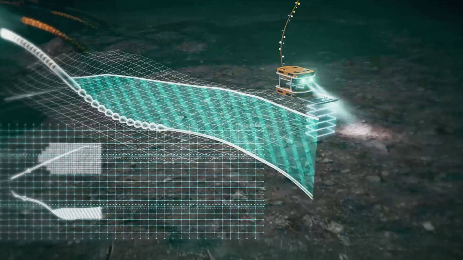
The Complexity of Underwater Sensor Data
The underwater environment necessitates a wide range of sensors for different data domains. These domains include:
- Hydrographic Data: Bathymetric, Habitat Mapping and Hydrodynamic Data
- Geophysical Data: Acoustic Imagery, Seismic Profiles and Magnetometry.
- Geotechnical Data: Core Samples and Cone Penetration Tests.
Within each of these data domains, different sensor types are used which produces data in a variety of non-standardised formats, requiring specialised software and expertise for processing and analysis. For instance, formats such as GSF, XTF, LAS, or SEG-Y demand specific tools to handle and interpret correctly. This diversity leads to significant challenges:
- Fragmented Workflows: Data needs to be processed in silos using disparate software suites.
- Collaboration Barriers: Internal teams and external stakeholders face difficulties sharing and accessing data in a unified way.
- Data Volume and Complexity: The sheer volume of data—often terabytes—requires robust storage and retrieval mechanisms.
For further insights into geospatial data and its management, check out our blog "What is Geospatial Data?".
Standardisation Efforts in the Geospatial Industry
Recognising the challenges, several organisations and initiatives are driving efforts to standardise geospatial data handling. The International Hydrographic Organization (IHO), for example, has developed standards like S-100 to unify the management of hydrographic data. Similarly, formats like GeoParquet—a cloud-optimised, open standard for geospatial data—are emerging as solutions developed by big technology companies to streamline workflows and ensure compatibility across platforms for geospatial data.
How TrueOcean Addresses These Challenges
At north.io, we recognise the critical need for standardisation and streamlining of underwater sensor data. Our platform integrates cutting-edge technology to address the complexities faced by offshore wind projects:
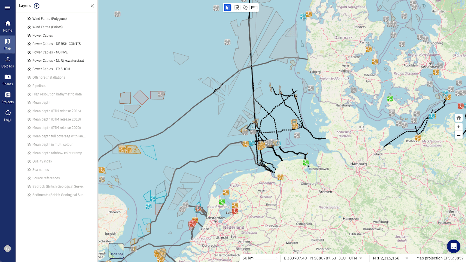
- Unified Data Management: By leveraging standards like Apache Parquet and GeoParquet, our platform ensures that incoming raw data from hydrographic, geophysical, and geotechnical sensors can be harmonised and stored efficiently. This eliminates the need for multiple software tools.
- Streamlined Workflows: TrueOcean’s Geodata Processing Engine automatically validates, pre-processes, and converts data into standardized outputs such as Web Map Service (WMS). This simplifies data sharing and visualisation across internal and external stakeholders.
- Collaboration-Ready: Our cloud-based approach enables seamless collaboration. Teams can upload, process, and share data in real time, reducing project timelines and minimising the risk of data silos.
- Scalability and Efficiency: The platform’s ability to handle terabyte-scale datasets ensures that even the largest offshore wind projects can be managed with ease, reducing time and resource expenditures.
Why Standardisation Matters for Innovation and Digitalisation Managers
For innovation and digitalisation managers, geodata standardisation is more than just a technical improvement; it’s a strategic priority that drives organisational efficiency and innovation. Here’s why it deserves a spot on their agenda:
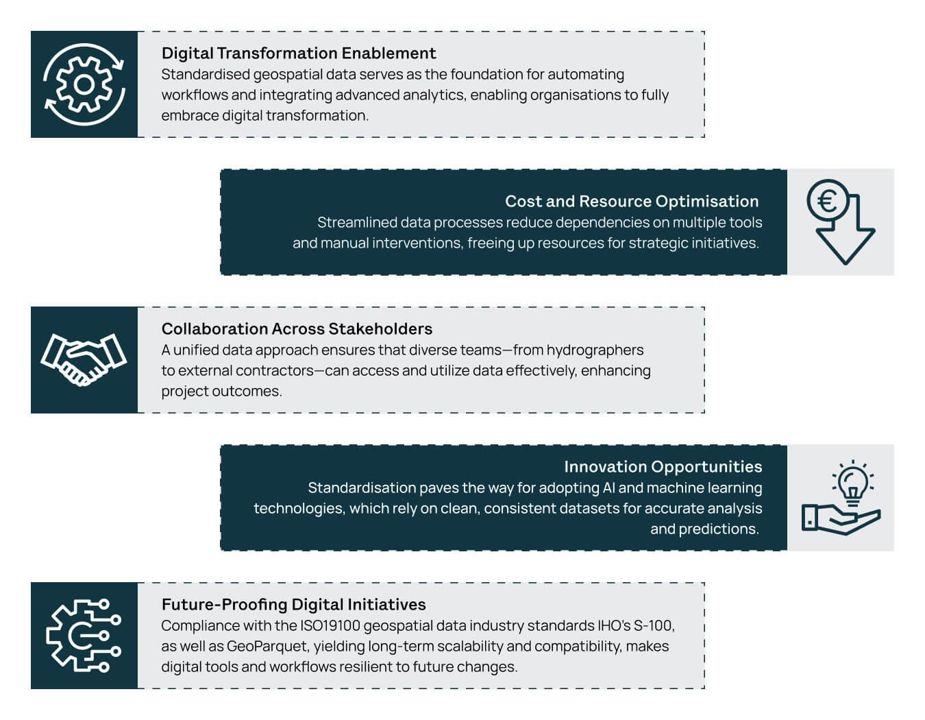
- Digital Transformation Enablement: Standardised geospatial data serves as the foundation for automating workflows and integrating advanced analytics, enabling organisations to fully embrace digital transformation.
- Cost and Resource Optimisation: Streamlined data processes reduce dependencies on multiple tools and manual interventions, freeing up resources for strategic initiatives.
- Collaboration Across Stakeholders: A unified data approach ensures that diverse teams—from hydrographers to external contractors—can access and utilize data effectively, enhancing project outcomes.
- Innovation Opportunities: Standardization paves the way for adopting AI and machine learning technologies, which rely on clean, consistent datasets for accurate analysis and predictions.
- Future-Proofing Digital Initiatives: Compliance with the ISO19100 geospatial data industry standards IHO’s S-100, as well as GeoParquet, yielding long-term scalability and compatibility, makes digital tools and workflows resilient to future changes.
To understand why we use GeoParquet as a key format, read our blog "Why Apache Parquet/GeoParquet is Key for Cloud Geodata Management".
Benefits of Standardising Underwater Sensor Data
By adopting a standardised approach to geospatial data, stakeholders in offshore wind projects can realise numerous benefits:
- Enhanced Collaboration: A unified data format facilitates better communication and data sharing across multidisciplinary teams.
- Reduced Costs: Streamlining workflows eliminates the need for multiple software licenses and reduces time spent on data management.
- Improved Data Quality: Automated validation and processing ensure high-quality, reliable data for decision-making.
- Future-Proofing: Compliance with emerging standards like GeoParquet positions projects for long-term adaptability and scalability.
Conclusion
Standardising underwater sensor data is not just a technical necessity—it’s a strategic enabler for the success of offshore wind projects. TrueOcean’s platform offers a comprehensive solution that addresses the challenges of diverse data types, large volumes, and collaborative workflows. By streamlining geospatial data processes, we empower hydrographers, geophysicists, geotechnical engineers, innovation and digitalization managers, and other stakeholders to focus on what they do best: delivering sustainable energy solutions.
To learn more about how north.io can help your team achieve geodata standardisation, contact us for a demo today.