
Cimbria Subsea Services GmbH provides hydrographic and geophysical survey services for offshore energy and maritime projects, supporting operations across the North Sea, Baltic Sea and coastal environments.
As part of a larger group, Cimbria has exclusive access to offshore work vessels while also working with partners operating smaller workboats for shallow-water projects. Its survey capabilities include multibeam, side-scan sonar and single-tow magnetometer services, as well as supporting survey services.
With data being generated continuously offshore, Cimbria needed a workflow that would allow its onshore processing teams to access survey data quickly, collaborate efficiently and identify potential quality issues while vessels were still operating in the survey area.

Speed & Operational Efficiency
Data Security
Collaboration & Data Access
Ultimately, Cimbria needed a solution that could move large datasets efficiently between offshore and onshore teams while providing a secure and controlled environment for both internal teams and customers.


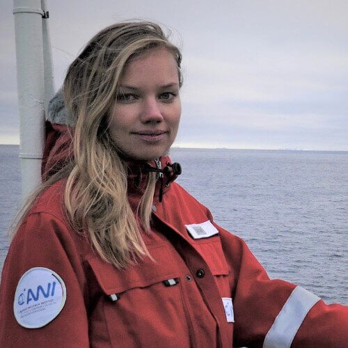

With north.io's Ocean Data Platform, Cimbria has established a cloud-based workflow connecting its offshore survey operations with its onshore processing team.
At the end of a survey day, collected data can be uploaded to the platform and made available to the onshore team for processing. Instead of requiring a dedicated processing specialist onboard, the work can be carried out from the office, and distributed across multiple team members to accelerate processing.
The platform also provides Cimbria with centralized access management, allowing the company to control who can view, edit or upload specific datasets. Customers can be granted access to review and download their project data directly.
Beyond data transfer, Cimbria also uses the platform's map functionality during early survey planning. Coordinate files can be uploaded to quickly understand where a prospective survey area is located and support an initial assessment of the expected scope and duration of a project.
If your teams are struggling with large geospatial datasets, fragmented storage, or slow GIS workflows, north.io’s Ocean Data Platform can help you regain control and unlock the full value of your data.

AI Transparency: Certain illustrations and visuals on this website, including project imagery, have been created using generative AI. Photorealistic project visuals are symbolic illustrations and do not depict the actual site, asset, or installation.
